10% de rabais sur l'ensemble de nos murales! / 30% sur nos canevas! Jusqu'à ce dimanche!

Résultats

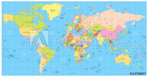
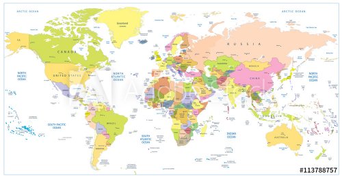
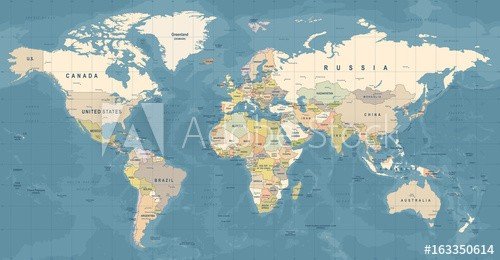
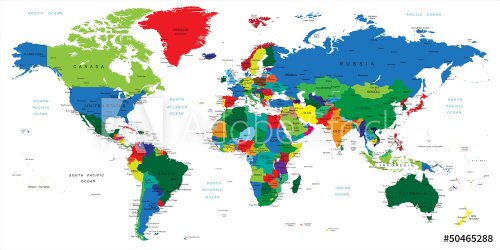
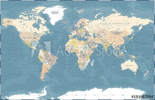
Detailed political World Map: countries, cities, water objects
abstract vector map of spain
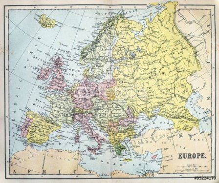
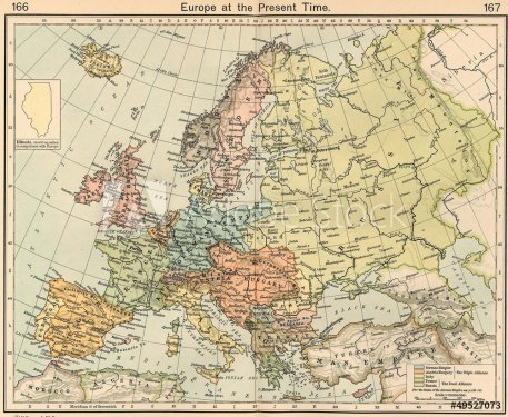
Map of 19th Century Europe
word cloud map of Texas state
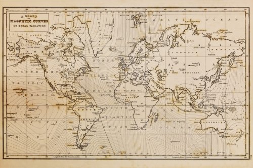
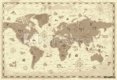
Old hand drawn vintage world map
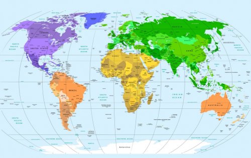
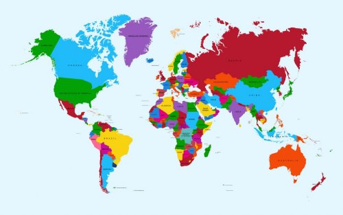
Carte du monde - Illustration colorée montrant les noms de pays, les noms d'États (États-Unis et Australie), les capitales, les principaux lacs et océans.
Pirate with map
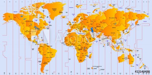
Timezone map
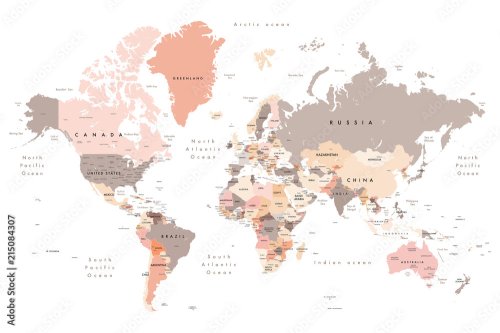
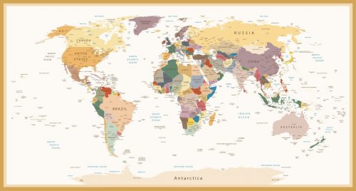
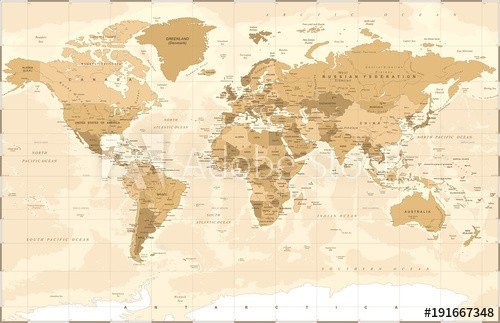
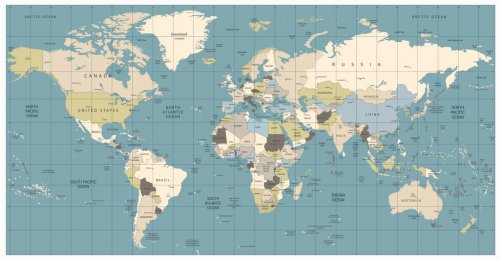
Highly Detailed Political World Map Vintage Colors
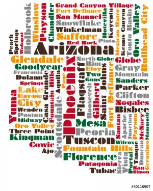
word cloud map of Arizona state
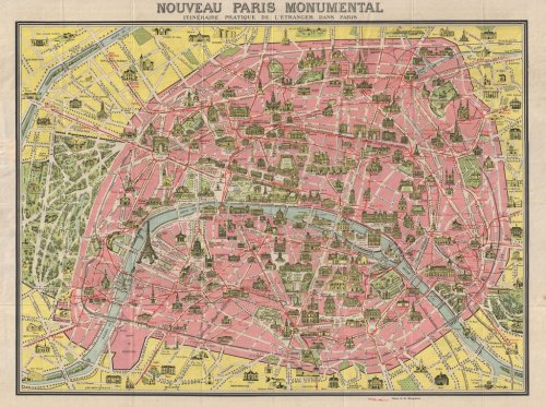
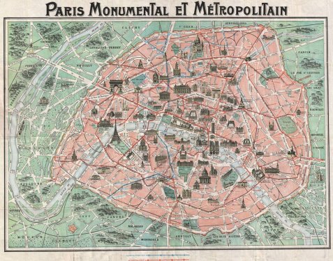
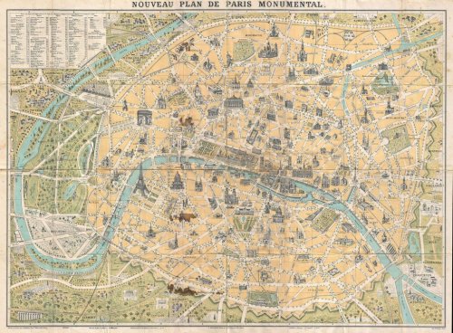
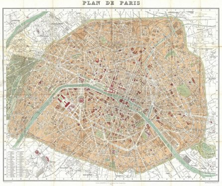
Paris 1920 Carte
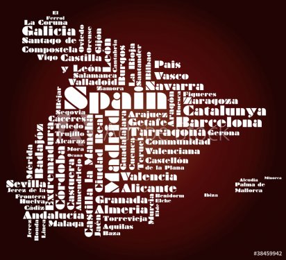
abstract map of Spain
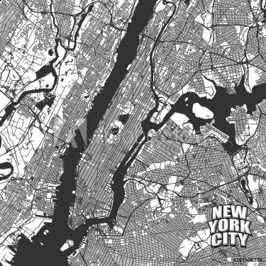
New York City vector map
world map
old map
World map vector abstract illustration pattern
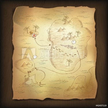
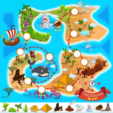
Treasure map on wooden background.
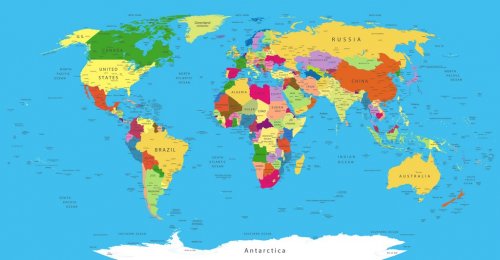
Political World Map
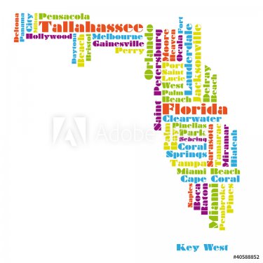
word cloud map of Florida state
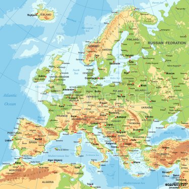
Europe - Physical Map
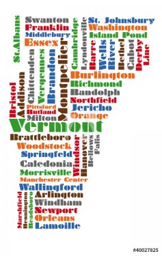
word cloud map of vermont state
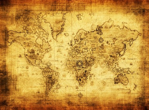
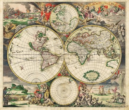
ancient map of the world
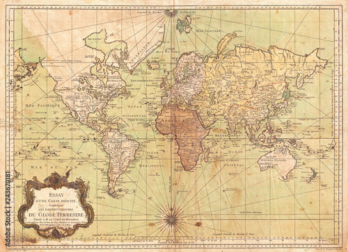
1778, Carte du monde - Français
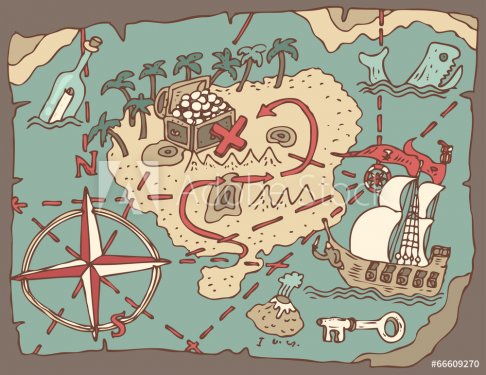
Island Treasure Map, vector illustration, hand drawn
High-quality Antique Map - Schagen
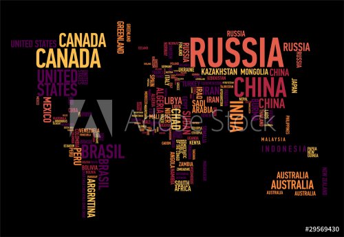
Word map 25
High resolution old map background
Carte Paris 1932
abstract map of Portugal
Political Vintage Golden World Map Vector
An illustration of an earth map over a sandpaper.
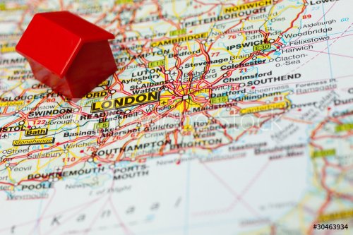
map of london with a symbolic hotel
Abstract world map
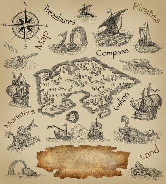
Ye Olde Pirate Treasure Map
Detailed World Map in colors of brown
word cloud map of Kansas state
old map
Map of the world on the paper
world map black detailed
Pirate Treasure Map
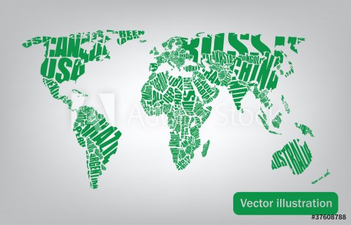
World map: countries of wordcloud
Ancient World map
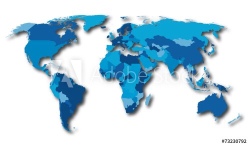
World map countries blue color
High resolution old map background
Carte Paris 1899
word cloud map of Michigan state, usa
International shipping. Cardboard box on the geographical map background
World map with global network
find alphabet on a seamless cartoon map
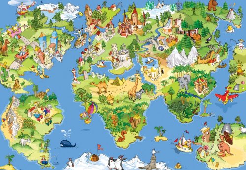
Great and funny world map
Pirate map
World Map old colors illustration: countries, cities, water obje
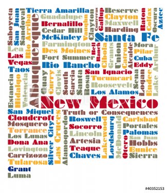
word cloud map of New Mexico state
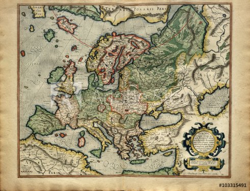
Old map of Europe, printed in 1587 by Mercator
Treasure Island And Pirate Map
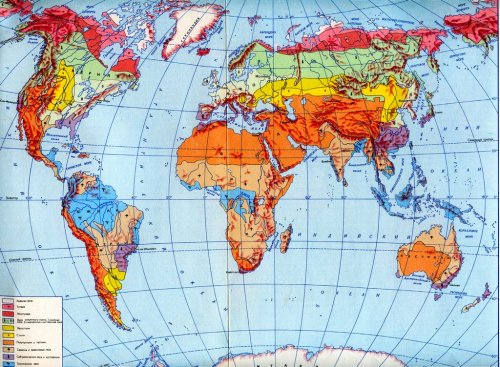
Physical  map
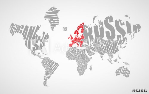
Text world map
world map drawn by typography
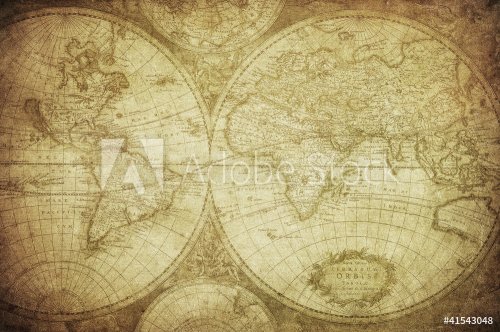
vintage map of the world 1675
World Map Illustration
High resolution old map background
Carte Paris 1892
word cloud map of North Dakota state, usa
World map in watercolor
world Ocean vector map concept
world map-vintage artwork
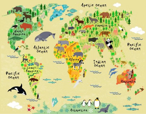
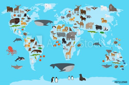
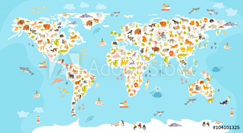
Animal map of the world for children and kids
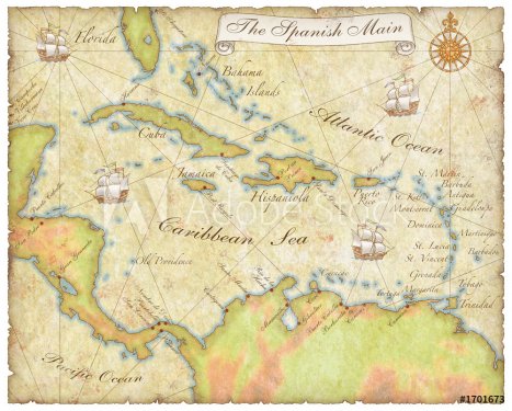
spanish main map
Colored political World Map isolated on white
word cloud map of Iowa state
Reproduction of 16th century map of Europe
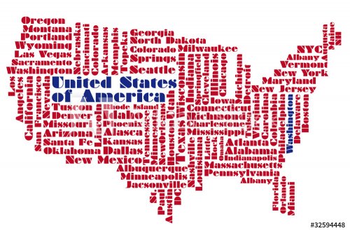
United States of America word collage map
aged America map-vintage artwork
Text world map
vintage map of the world.
Words map
map of usa
World Map Vector. Detailed illustration of worldmap
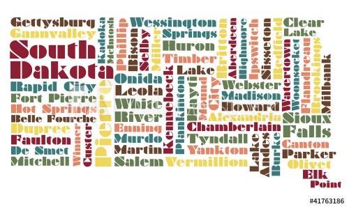
word cloud map of South Dakota state
World map in watercolor
World Map
aged America map-vintage artwork
Animals world map
ancient map
World map-countries
abstract map of usa
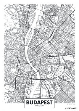
Detailed vector poster city map Budapest
United States of America word collage map
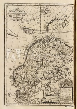
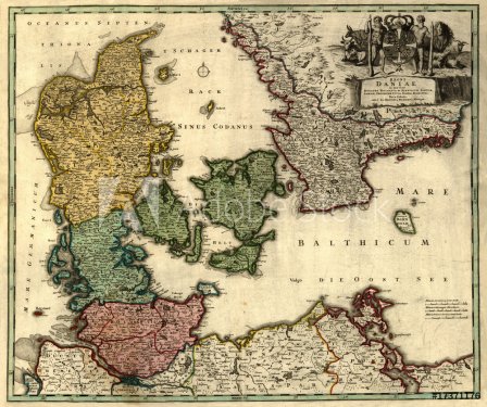
Antique map of Denmark (18 centuries, Latin language).
Watercolor world map
Vector illustration of blank world map
Words map
Map of Africa with vector icons
Political Colored World Map Vector
word cloud map of Wisconsin state
World Map
World map, colorful countries atlas EPS10 vector file.
aged America map-vintage artwork
World mammal map. Beautiful cheerful colorful vector illustration for children and kids. Preschool, baby, continents, oceans, drawn, Earth

638 résultats.
Résultats 501 - 600
« 1 2 3 4 5 6 7 »
© 2010 - 2024 MaMurale.com - Tapisserie Murale - Toiles Canevas