10% de rabais sur l'ensemble de nos murales! / 30% sur nos canevas! Jusqu'à ce dimanche!

Résultats

Paysage de dunes à la mer du Nord au Danemark
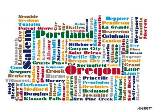
word cloud map of Oregon state
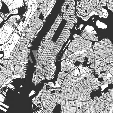
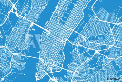
New York City Manhattan One Color Map
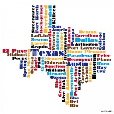
word cloud map of Texas state
old map
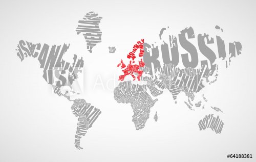
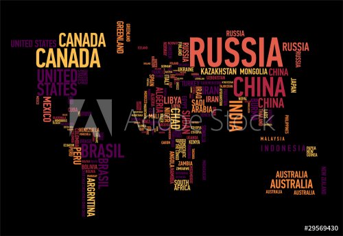
Text world map
Social media network icon Earth map
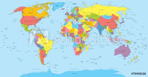
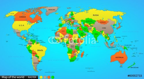
World map with countries, country and city names
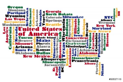
abstract word cloud based vector map of USA
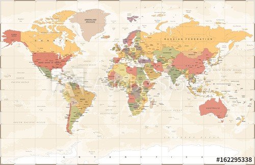
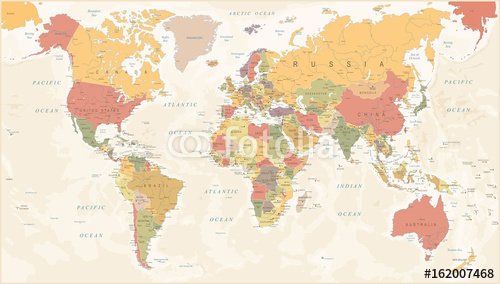
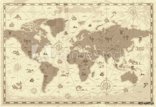
Vintage World Map - Vector Illustration
abstract map of United Kingdom
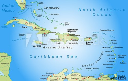
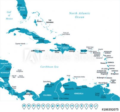
Carte des Caraïbes
World map with global network
old wrld map
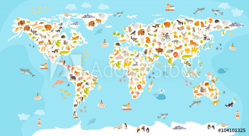
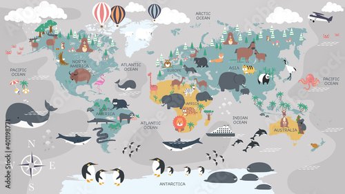
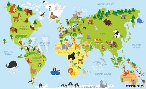
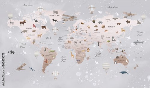
World mammal map. Beautiful cheerful colorful vector illustration for children and kids. Preschool, baby, continents, oceans, drawn, Earth
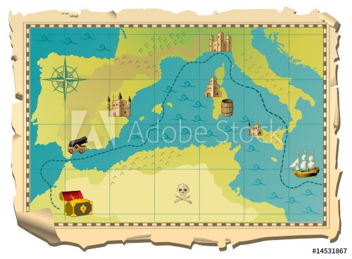
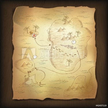
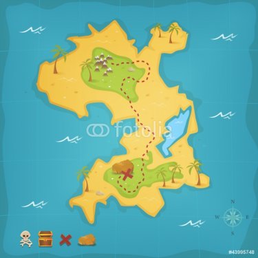
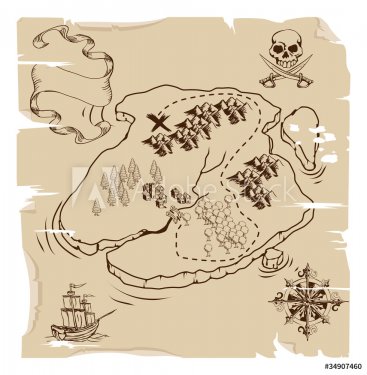
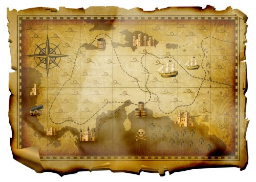
pirate map
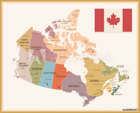
Vintage Map of Canada with flag
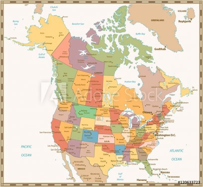
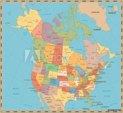
Retro color political map of USA and Canada
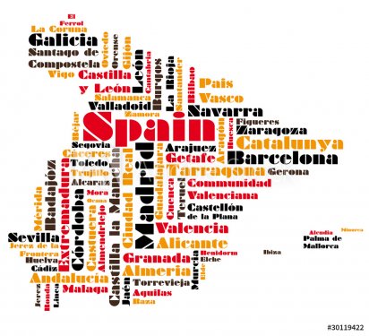
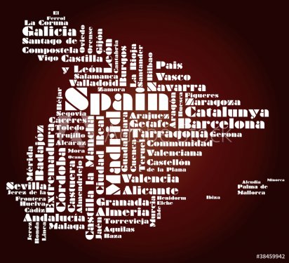
abstract vector map of spain
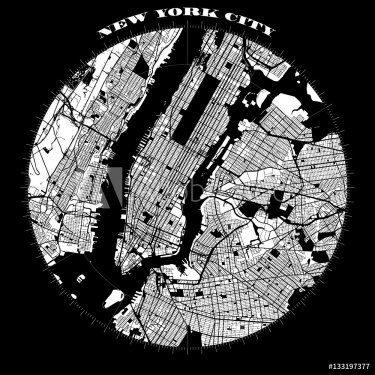
New York City Manhattan Compass Design Map
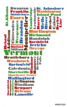
word cloud map of vermont state
map
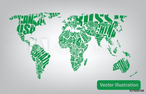
world map drawn by typography
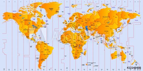
Timezone map
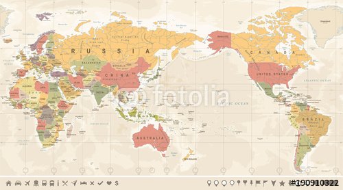
Vintage Political World Map Pacific Centered
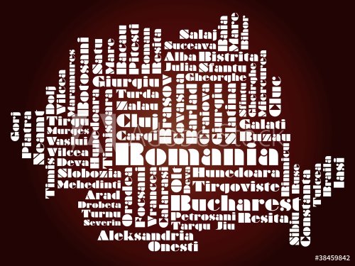
abstract map of Romania
Carte des Caraïbes
world Ocean vector map concept
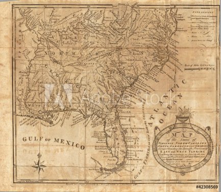
old map
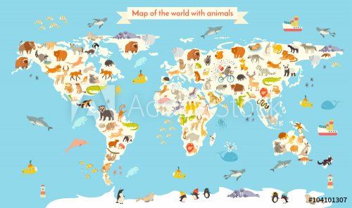
Animals world map. Colorful cartoon vector illustration for children and kids. Preschool, education, baby, continents, oceans, drawn, Earth
Old vintage color political map of USA and Canada
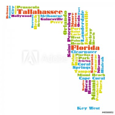
word cloud map of Florida state
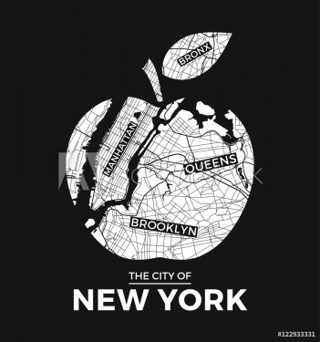
New York big apple t-shirt graphic design with city map. Tee shirt print, typography, label, badge, emblem. Vector illustration.
Map of the world on the paper
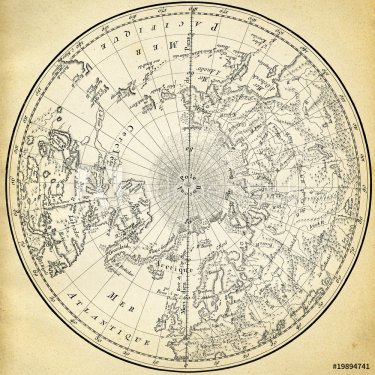
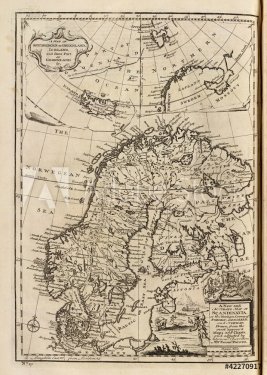
Ancient map (1746) of the northern hemisphere
Text world map
High-quality Antique Map - Schagen
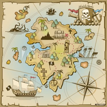
Pirate treasure island vector map
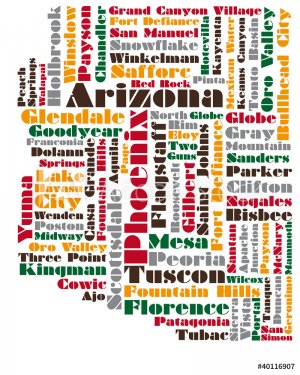
word cloud map of Arizona state
Vintage World Map - Vector Illustration
abstract map of Spain
The world map with cartoon animals for kids, nature, discovery and continent name, ocean name, countries name. vector Illustration.
World Map
old map
Funny cartoon world map with traditional animals of all the continents and oceans. Vector illustration for preschool education and kids design
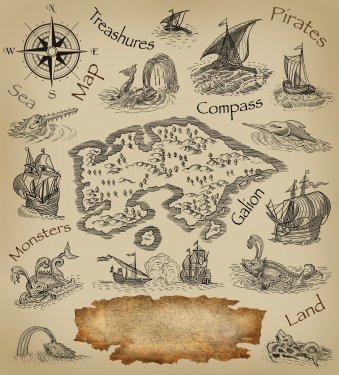
Treasure map on wooden background.
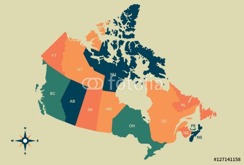
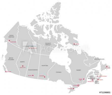
Canada Vector Map
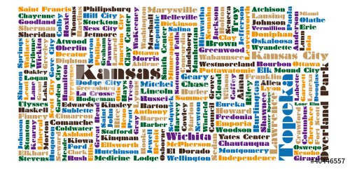
word cloud map of Kansas state
Vector city map of New York
Treasure Island And Pirate Map
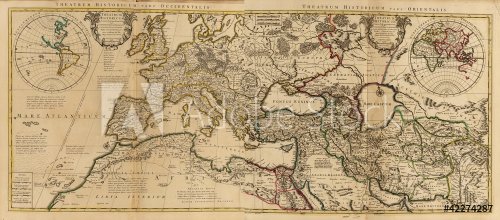
Map of ancient world
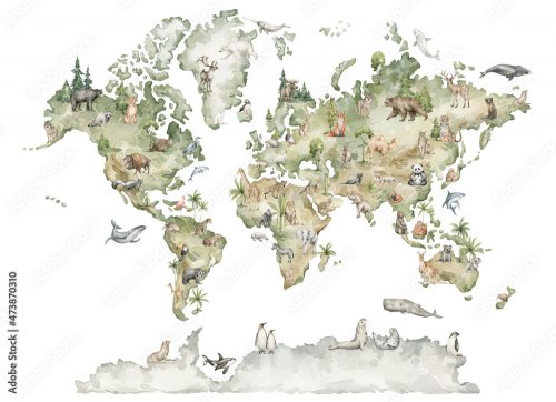
Watercolor world map
World map: countries of wordcloud
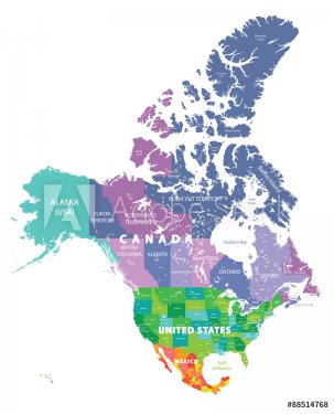
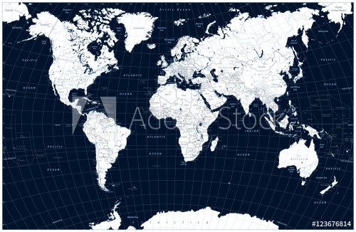
Dark blue color World Map and water objects
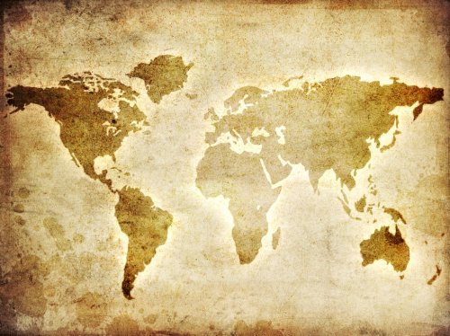
High resolution old map background
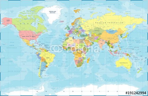
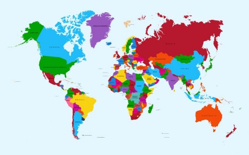
Political Colored World Map Vector
abstract map of Portugal
Carte du monde en aquarelle avec animaux et éléments naturels
World map, colorful countries atlas EPS10 vector file.
old map
map of the world old style
Ye Olde Pirate Treasure Map
Pirate map
Canada Map with Capitals
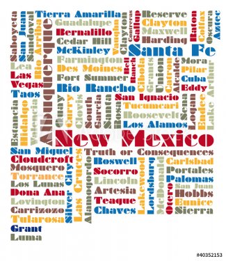
word cloud map of New Mexico state
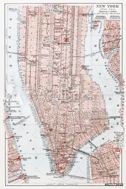
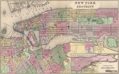
Vintage map of South Manhattan - New York
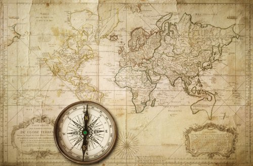
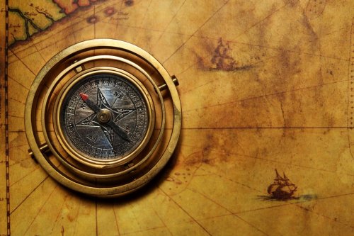
Vintage compass on the old map
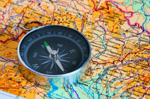
compass on map
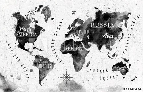
Ink world map
Ancient World map
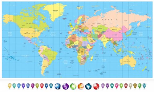
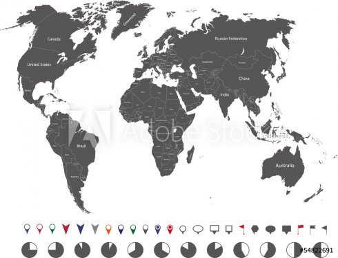
Colored political World Map and 3D globes with navigation icons
High resolution old map background
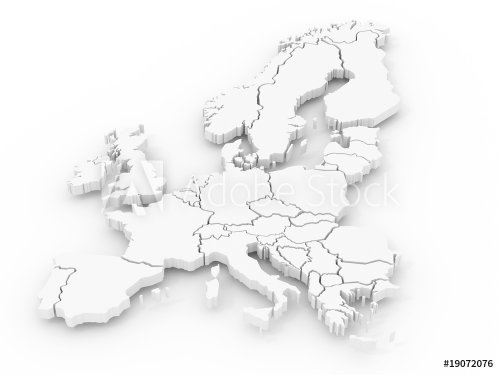
map of europe
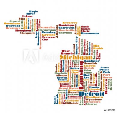
word cloud map of Michigan state, usa
Carte du monde des animaux pour enfants (en anglais)
world map
old map
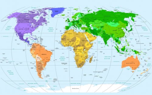
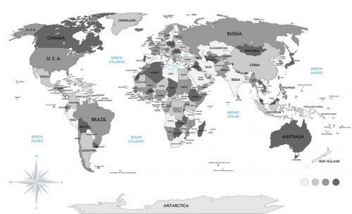
Political world map
Political map of the world
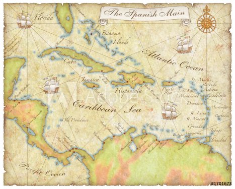
spanish main map
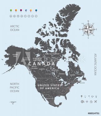
Vector black map of USA, Canada and Mexico states
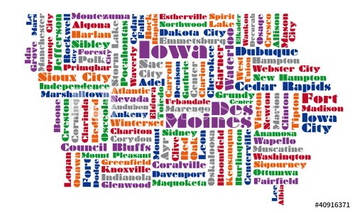
word cloud map of Iowa state
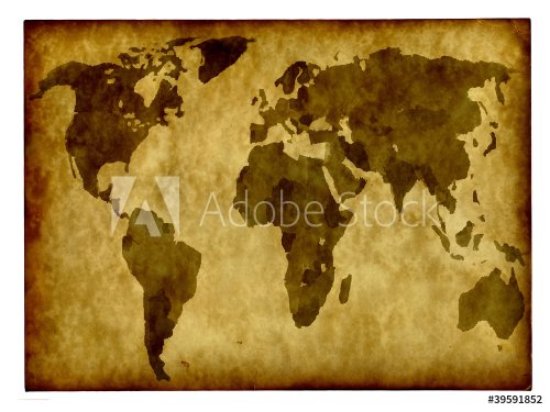
old map
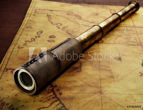
Close-up of a spyglass on the old map
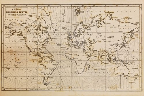
Old hand drawn vintage world map
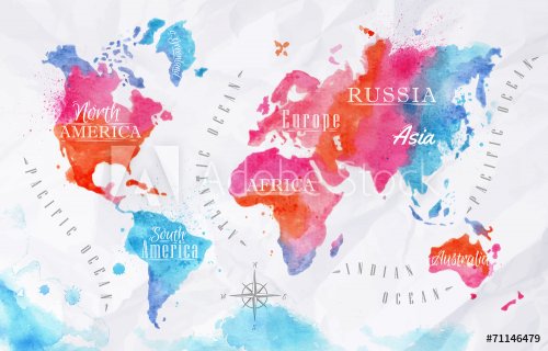
Watercolor world map pink blue
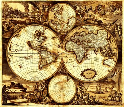
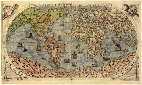
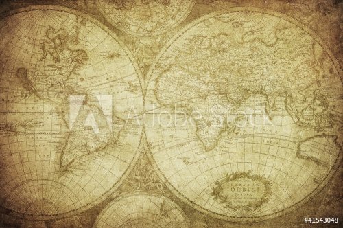
vintage map of the world 1675
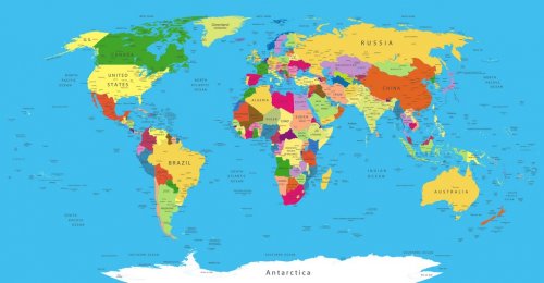
Political World Map
High resolution old map background
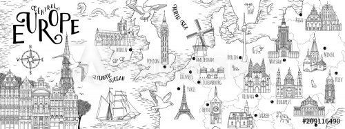
Hand drawn map of Central Europe with selected capitals and landmarks, vintage web banner
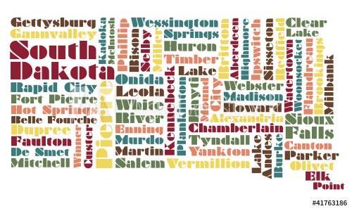
word cloud map of South Dakota state
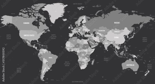
Carte du monde en anglais dans les teintes de gris sur fond foncé
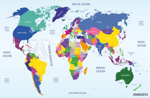
world geographical and political map
map of london with a symbolic hotel
Map of the World, vector illustration. Names and borders on separate layer.
ancient map
colored map of USA, Canada and Mexico states

452 résultats.
Résultats 201 - 300
« 1 2 3 4 5 »
© 2010 - 2024 MaMurale.com - Tapisserie Murale - Toiles Canevas