10% ON WALL MURALS! / 30% ON ALL CANVAS PRINTS! Until this Sunday!

Results

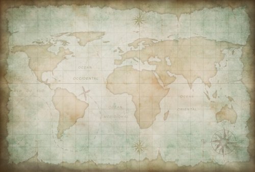
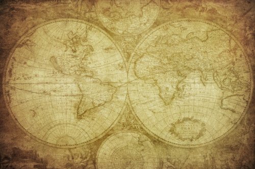
old world map background
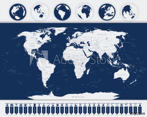
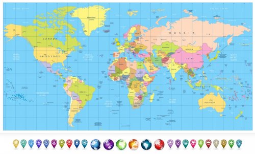
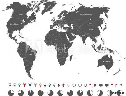
World map and Navigation Icons
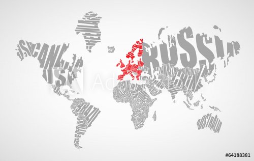
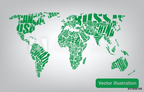
Text world map
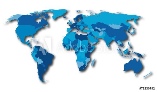
World map countries blue color
world map drawn by typography
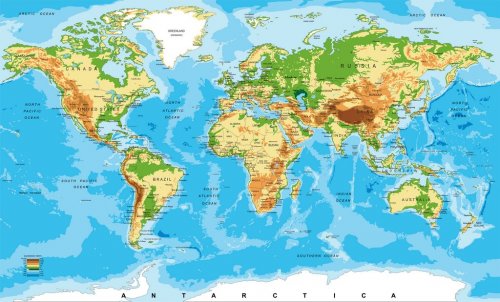
Physical map of the world
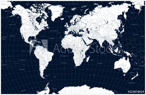
Dark blue color World Map and water objects
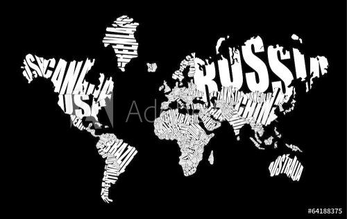
Text world map
Colored political World Map and 3D globes with navigation icons
Watercolor world map
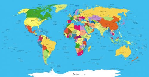
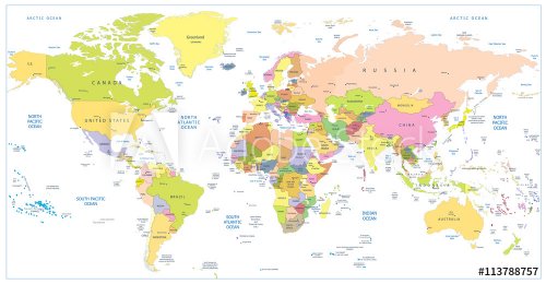
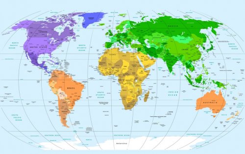
Political World Map
Ink world map
Colored political World Map isolated on white
Watercolor world map pink blue
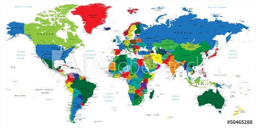
World map-countries
Watercolor world map green blue
World map
Watercolor world map red purple
poster deer in forest Scandinavian style - vector illustration, eps -  vector illustration, eps
City of Vancouver Panoramic Map - 1898
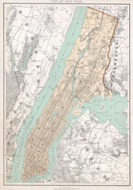
1899 Home Life Map of New York City ( Manhattan and the Bronx ) - Geographicus
1854 Colton Map of Quebec, Montreal and New Brunswick, Canada
1865 Colton Map of New York City (Manhattan, Brooklyn, Long Island City) - Geographicus
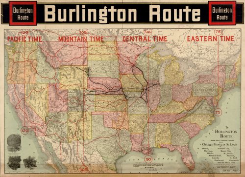
Burlington Route. USA MAP
1895 Bien Map of New York City (w- Queens ^ the Bronx) - Geographicus
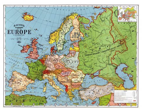
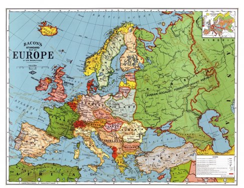
Europe Map 1923 Country Breakdown Country Borders
Matthew Dripps - Map of New York - 1852
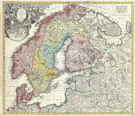
Scandinavia Norway Sweden Finland Denmark Map
1873 Beers Map of Brooklyn, New York
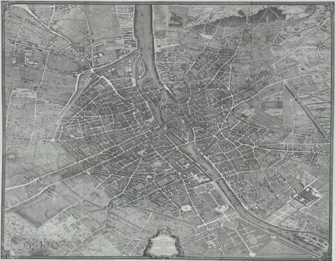
Paris City Map Old Antique Drawing Drawn Turgot
1880 Colton Pocket Map of Long Island - Geographicus - LongIsland
1799 Clement Cruttwell Map of Africa
Paris Map City Old 1657 Drawn Drawing
Caribbean Map
1801 Cary Map of Turkey in Europe, Greece, and the Balkan
White House Location Map Building Plan Architecture
Central America and Caribbean Islands physical map
1794 Delisle Map of Southern Ancient Greece, Greeks Isles, and Crete
Paris City Map 1550 Old Drawing Drawn
portugal wine regions map
Old map-Corpus Christi-1887
Woodcut City Map Zurich Murerplan Switzerland
A map of famous Italian wines and regions of their production
1799 Cary Map of Italy - Geographicus - Italy
Manhattan New York City 1870 Map Old
Old geography travel map with regional animals and aircrafts
1932 Candrain Map of San Francisco, California
Europe Map 1923 Country Breakdown Country Borders
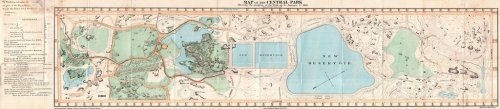
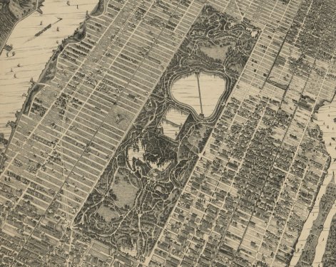
1860 Pocket Map of Central Park, New York City
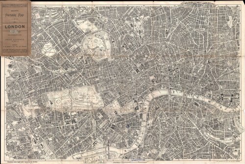
1899 Bacon Pocket Plan or Map of London
Old map-Houston-1891
Taylor Map - Central Park - New York
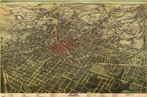
Atlanta Koch map 1892
1747 Bowen Map of New Jersey, Pennsylvania, New York and New England - Geographicus
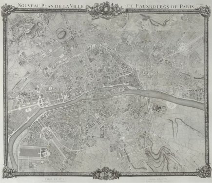
1775 Plan de Jaillot - Map - Paris
Walter Stranders - Map of South Bronx - 1879 - New York
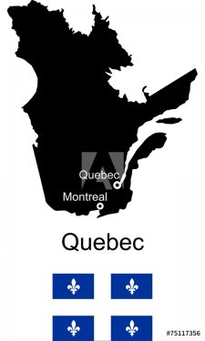
Quebec vector map
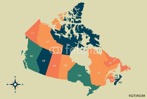
Canada Vector Map
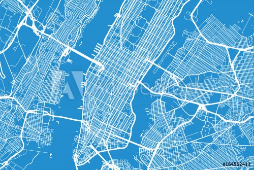
Vector city map of New York
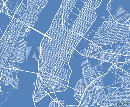
Aerial view USA New York city vector street map
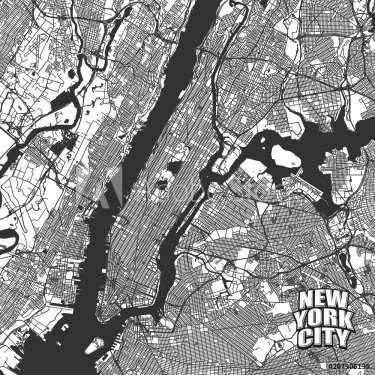
New York City vector map
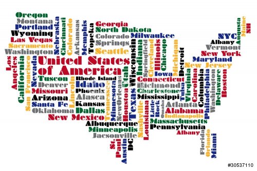
abstract word cloud based vector map of USA
Map of Africa with vector icons
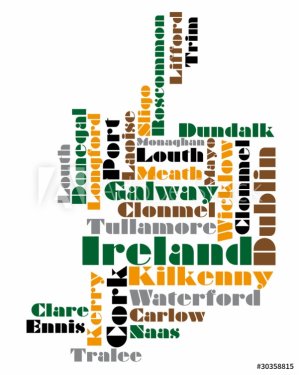
abstract vector map of northern ireland
Island Treasure Map, vector illustration, hand drawn
Pirate treasure island vector map
Abstract hockey background with detailed goal.
Extremely detailed and realistic high resolution 3D image of Planet Mars. Shot from outer space. Elements of this image are furnished by NASA.
The Mars sunrise shot from space showing all they beauty. Extremely detailed image
Monochrome detailed cartoon off-road jeep climbing rocks
Donuts hand drawn doodle banner. Cartoon detailed illustrations.
Abstract bright feathers background. Artificial Intelligence generated detailed image.
map of the world
world map textures and backgrounds
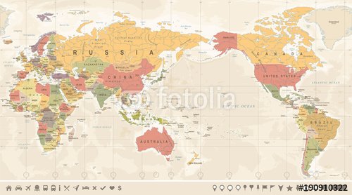
Vintage Political World Map Pacific Centered
Vintage world map. Colorful paint, watercolor on grunge paper
world map textures and backgrounds
World Map
WORLD MAP
world map textures and backgrounds
Magnetic old compass on world map.Travel, geography, navigation, tourism and exploration concept background. Macro photo. Very shallow focus.
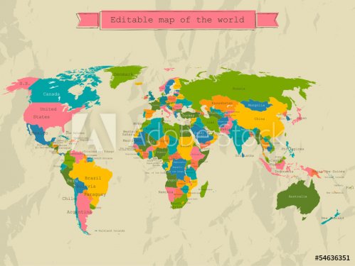
Editable world map with all Countries.
world map textures and backgrounds
Watercolor world map with animals and natural elements
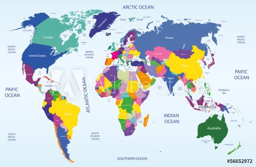
world map
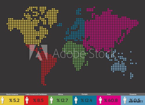
Global population distribution World map
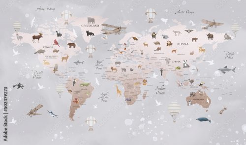
Animals world map for kids
World map with global network
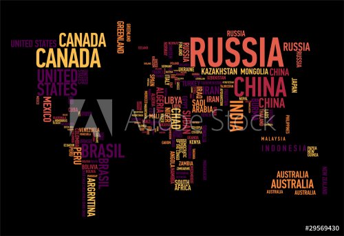
World map: countries of wordcloud
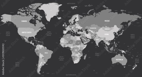
World map - grey colored on dark background
World Map
vintage map of the world 1675
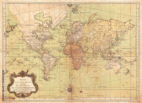
1778, Bellin Nautical Chart or Map of the World - French
world map
vintage map of the world.
world geographical and political map
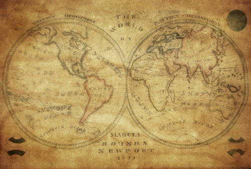
vintage map of the world 1833..
Sky Earth Space Working
ancient map of the world.

9,313 results.
Results 101 - 200
« 1 2 3 4 5 6 7 8 »
© 2010 - 2024 MaMurale.com - Wall Tapestry - Canvas Prints