10% ON WALL MURALS! / 30% ON ALL CANVAS PRINTS! Until this Sunday!

Results

night scene of a street in city,illustration painting
Façade avec escalier de secours - New York
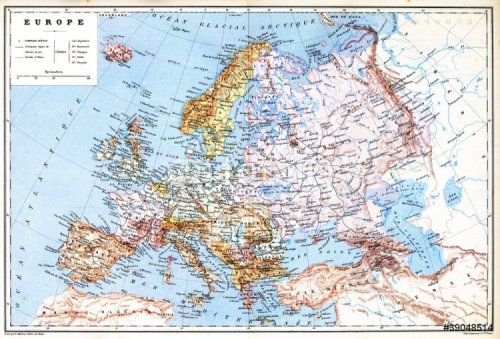
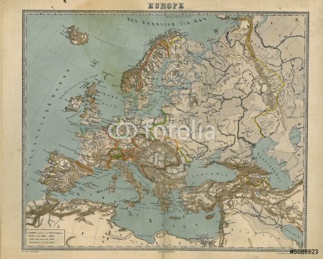
The old planispheric map of Europe
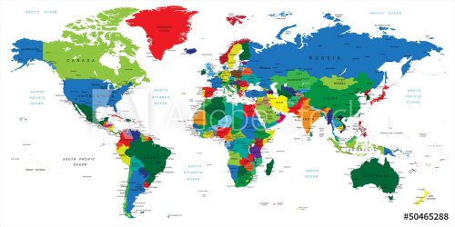
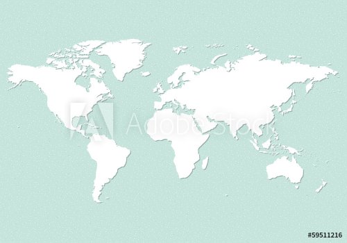
map of the world
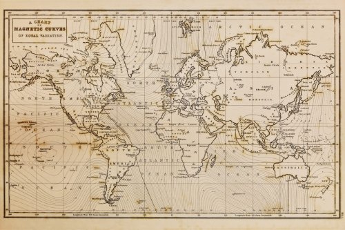
old wrld map
World map vector abstract illustration pattern
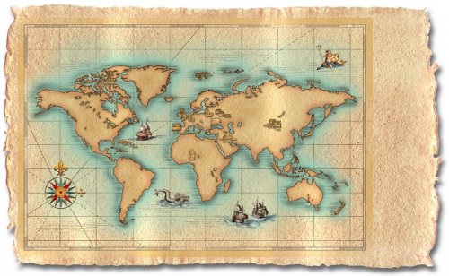
ancietn map of the world treasure,
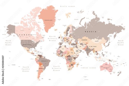
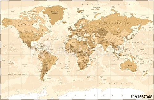
Detailed World Map in colors of brown
word cloud map of Wisconsin state
World Map Vector. Detailed illustration of worldmap
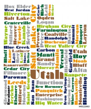
word cloud map of Utah state
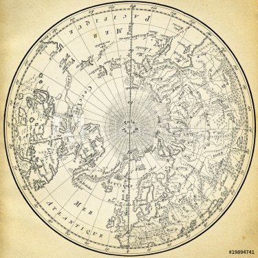
Ancient map (1746) of the northern hemisphere
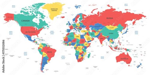
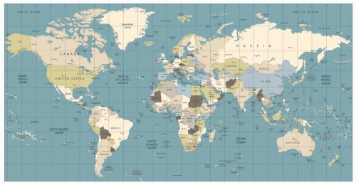
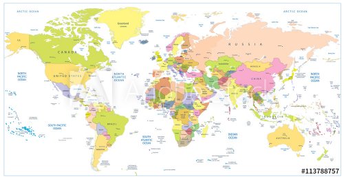
Detailed world map with borders, countries and cities
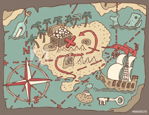
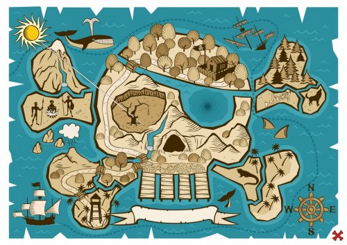
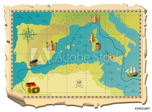
Island Treasure Map, vector illustration, hand drawn
world map on soccer ball, nature
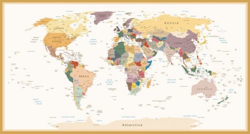
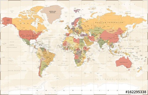
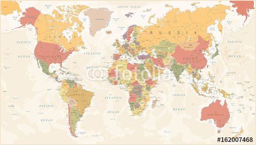
Highly Detailed Political World Map Vintage Colors
World Map
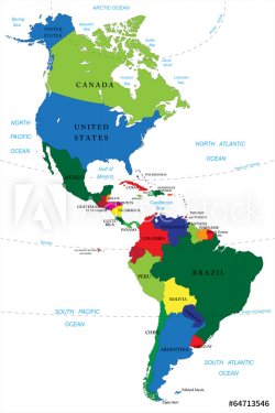
North and South America map
word cloud map of Idaho state
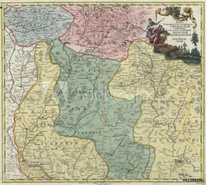
Old map of Europe
Vintage world map. Colorful paint, watercolor on grunge paper
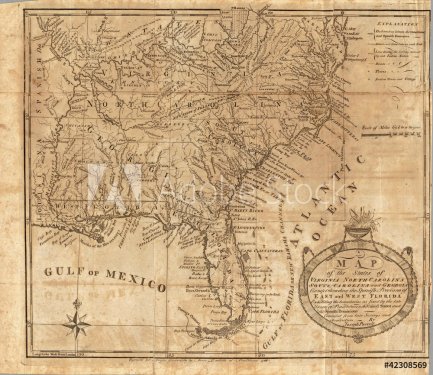
old map
Abstract world map
Treasure Map
World Map old colors illustration: countries, cities, water obje
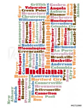
word cloud map of Indiana state
Political Colored World Map Vector
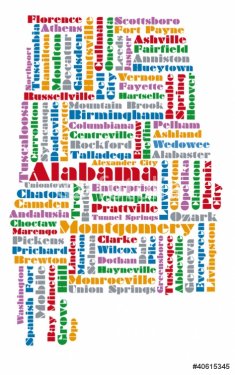
word cloud map of Alabama state
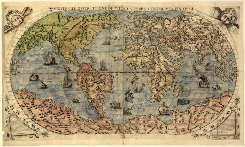
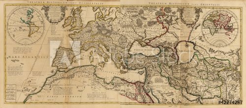
Map of ancient world
world map - all layers outlined stars-Colourful Illustration showing country names, State names (USA & Australia), capital cities, major lakes and oceans
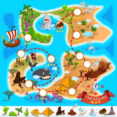
Pirate Treasure Map
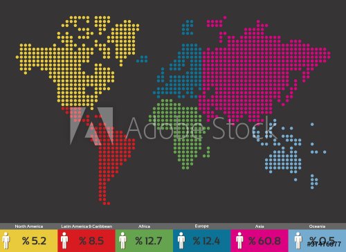
Global population distribution World map
Word map 25
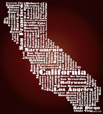
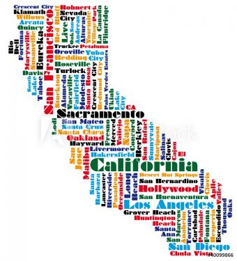
abstract map of California state, USA
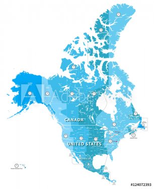
Vector high detailed North America time zones map. All elements separated in detachable and labeled layers
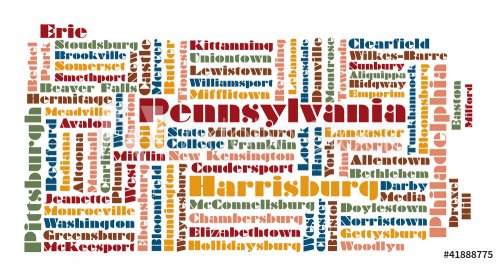
word cloud map of Pennsylvania state, usa
old map
WORLD MAP
old map
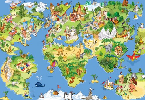
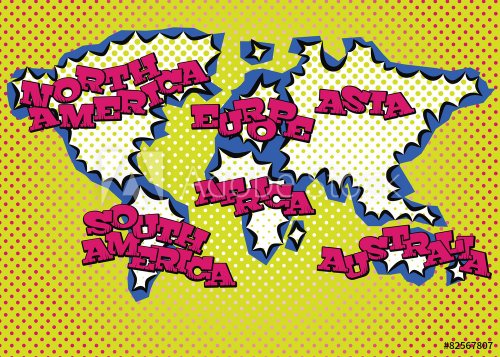
Great and funny world map
pirate map
Colored political World Map isolated on white
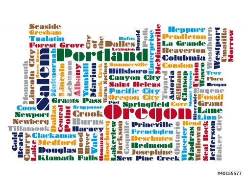
word cloud map of Oregon state
Vintage World Map - Vector Illustration
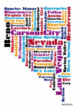
word cloud map of Nevada state
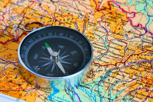
compass on map
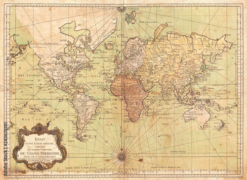
1778, Bellin Nautical Chart or Map of the World - French
Text world map
Social media network icon Earth map
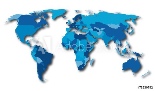
World map countries blue color
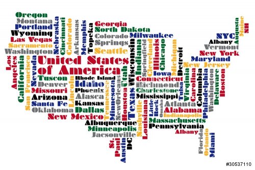
abstract word cloud based vector map of USA
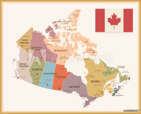
Vintage Map of Canada with flag
abstract map of United Kingdom
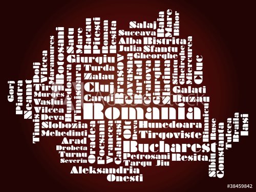
abstract map of Romania
Political Vintage Golden World Map Vector
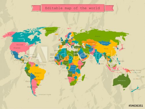
Editable world map with all Countries.
old map
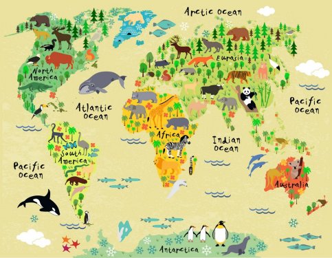
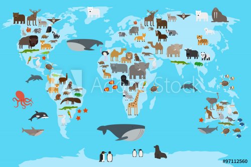
Animal map of the world for children and kids
World map-countries
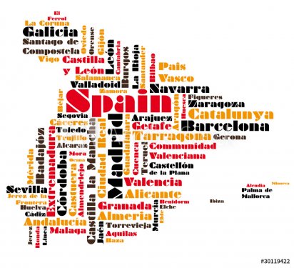
abstract vector map of spain
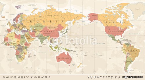
Vintage Political World Map Pacific Centered
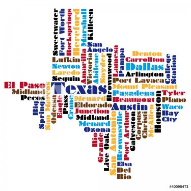
word cloud map of Texas state
Old hand drawn vintage world map
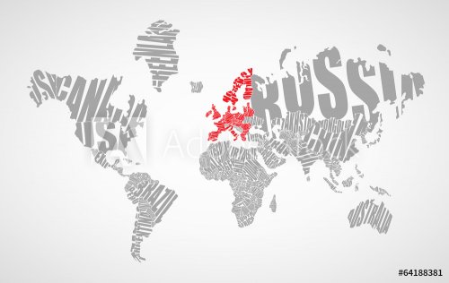
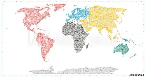
world map drawn by typography
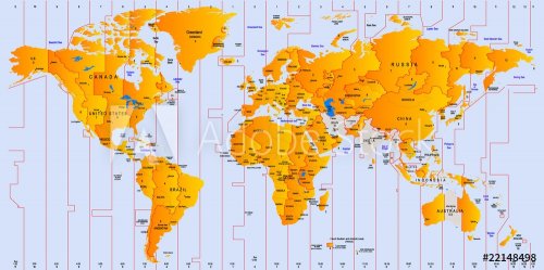
Timezone map
World Map Illustration
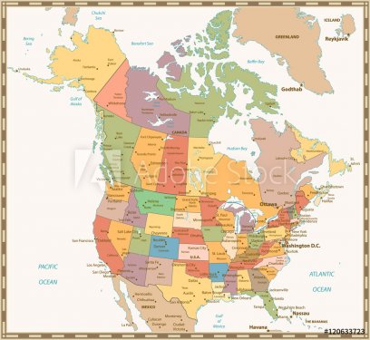
Retro color political map of USA and Canada
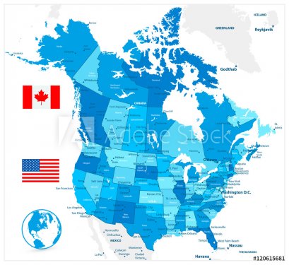
USA and Canada large detailed political map in colors of blue
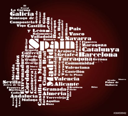
abstract map of Spain
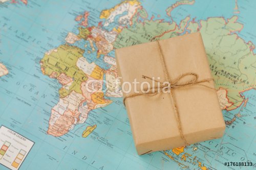
International shipping. Cardboard box on the geographical map background
world map
old map
Animals world map
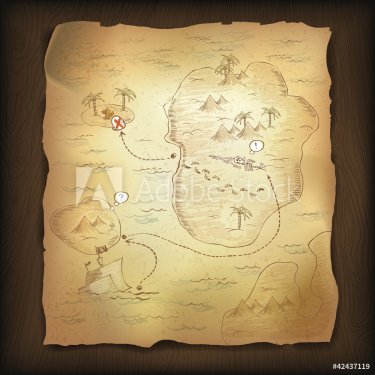
Treasure map on wooden background.
World map
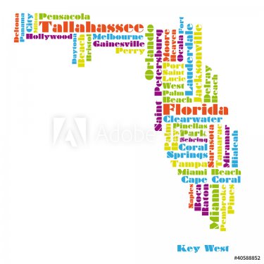
word cloud map of Florida state
Vintage World Map - Vector Illustration
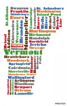
word cloud map of vermont state
ancient map of the world
Text world map
High-quality Antique Map - Schagen
Words map
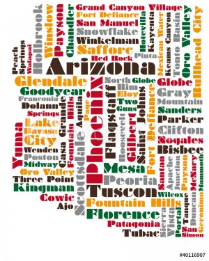
word cloud map of Arizona state
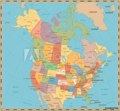
Old vintage color political map of USA and Canada
abstract map of Portugal
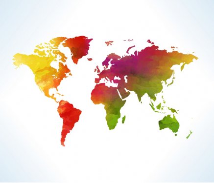
World map in watercolor
An illustration of an earth map over a sandpaper.
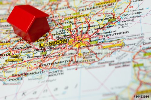
map of london with a symbolic hotel
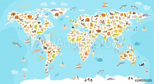
World mammal map. Beautiful cheerful colorful vector illustration for children and kids. Preschool, baby, continents, oceans, drawn, Earth
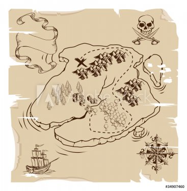
Ye Olde Pirate Treasure Map
Rough old map of the world
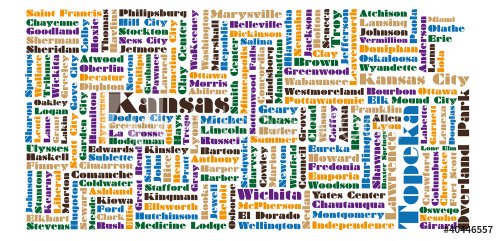
word cloud map of Kansas state
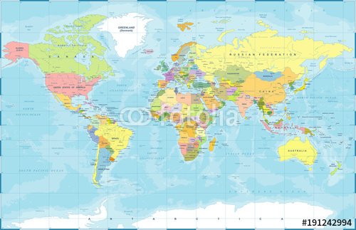
Political Colored World Map Vector
Map of the world on the paper
world map black detailed
Watercolor world map
World map: countries of wordcloud
Words map

1,431 results.
Results 501 - 600
« 1 2 3 4 5 6 7 8 9 10 11 12 »
© 2010 - 2024 MaMurale.com - Wall Tapestry - Canvas Prints